
News
Search our News:
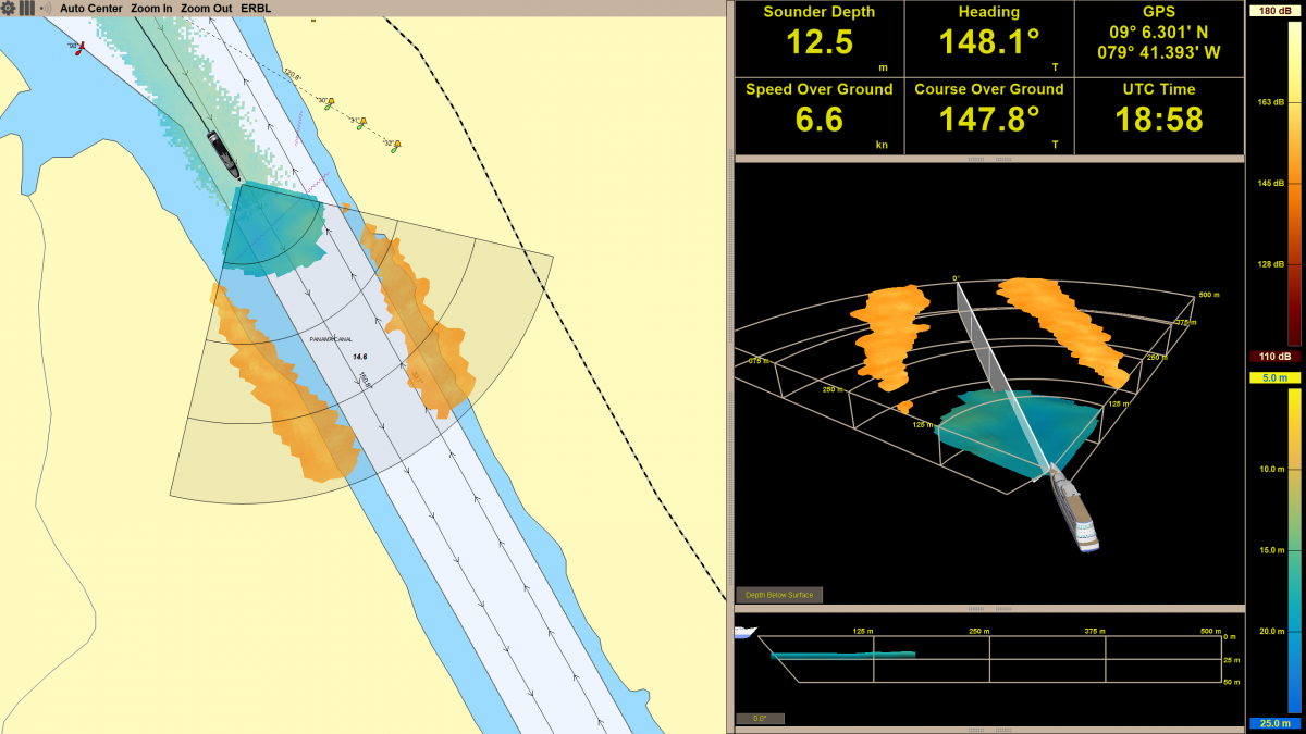
Easing the exploration of uncharted waters
Superyatch News takes a look at the latest navigation technology that is enabling yachts to go further afield while also cruising safely.
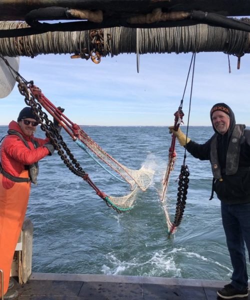
Development of Underwater Sonar as a Technique for Assessment and Classification of Pelagic Fish in Rhode Island (2017-2019)
Estimating the number of individual fish in a given stock is one of the most fundamental yet challenging aspects of fisheries management. In Rhode Island, Atlantic menhaden and herring are commercially important pelagic fisheries that support a large industry, yet management is difficult because reliable and adequate data are lacking; while existing fisheries surveys do a good job of sampling bottom-dwelling species, they are poorly suited for accurately assessing pelagic species.
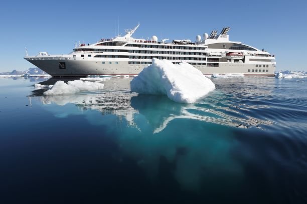
The Technology Behind Extraordinary Itineraries
FarSounder’s Forward Looking Sonar identifies obstructions in the water up to 1,000 metres ahead, helping operators to keep ships, guests and crew safe.
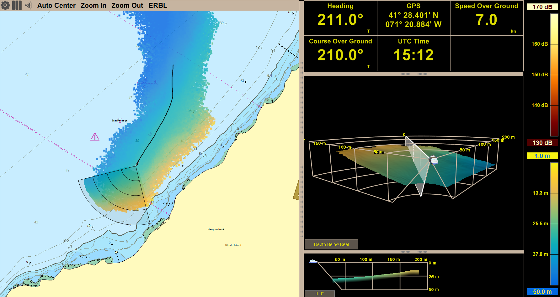
FarSounder Helps IHO Improve Cruise Ship Safety
FarSounder has become the first forward-looking sonar technology company to be registered as a trusted node for the International Hydrographic Organization (IHO) Data Centre for Digital Bathymetry database, hosted by the National Oceanic and Atmospheric Administration (NOAA).
Collaboration for Safe Exploration
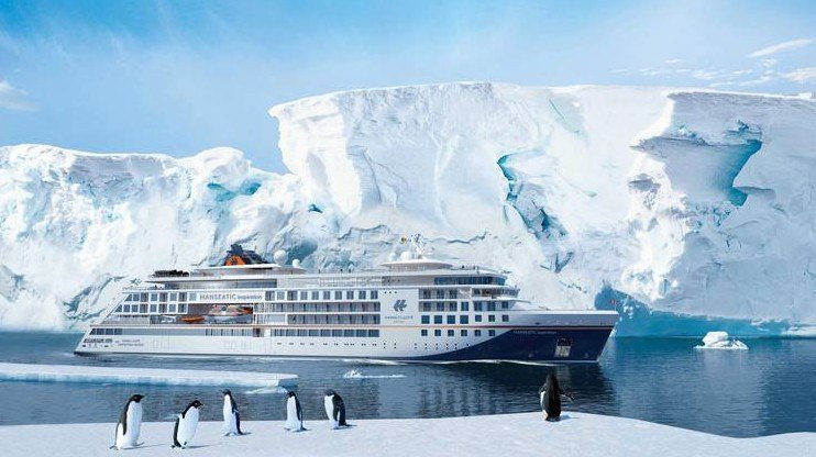
Innovation in cruising is in full bloom. As cruise ship operators continue to seek out new, exciting experiences for their customers, they are rapidly expanding their offerings of exclusive destinations. Their customers are demanding unique itineraries which, in turn, demand the most advanced technologies to bring them there and back safely. One key piece of innovative equipment that has recently grabbed the attention of technical staff is FarSounder’s line of 3D Forward Looking Sonars (3D FLS).
Anything 2D Forward Looking Sonars Can Do, 3D Can Do Better?
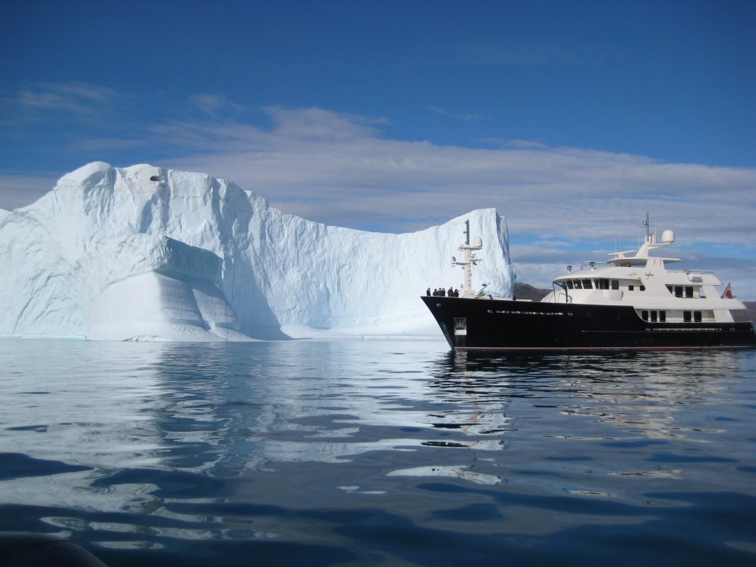
We pit 2D against 3D to understand what we can expect from different Forward Looking Sonars. With more and more exploration yachts choosing to operate in challenging environments, the risk of collision with poorly charted obstacles, wrongly placed obstacles (due to GPS malfunctions), or transient obstacles such as ice and submerged shipping containers, increases significantly. Groundings with large underwater structures such as rocks, reefs, sandbanks and shoals are unfortunately significant risks. And the annual costs of groundings and collisions run up into the billions every year.
Marine News - MN 100 Companies
FarSounder is the leader in the design and manufacture of 3D Forward Looking Sonar. This cutting-edge technology is unique in the marketplace. It provides navigators real-time 3D imargery of what's beneath the waters up to 1000 meters ahead of a vessel detecting various underwater hazards and shallow bottoms.
E-Navigation and Advanced Radar Gain Momentum on the Bridge
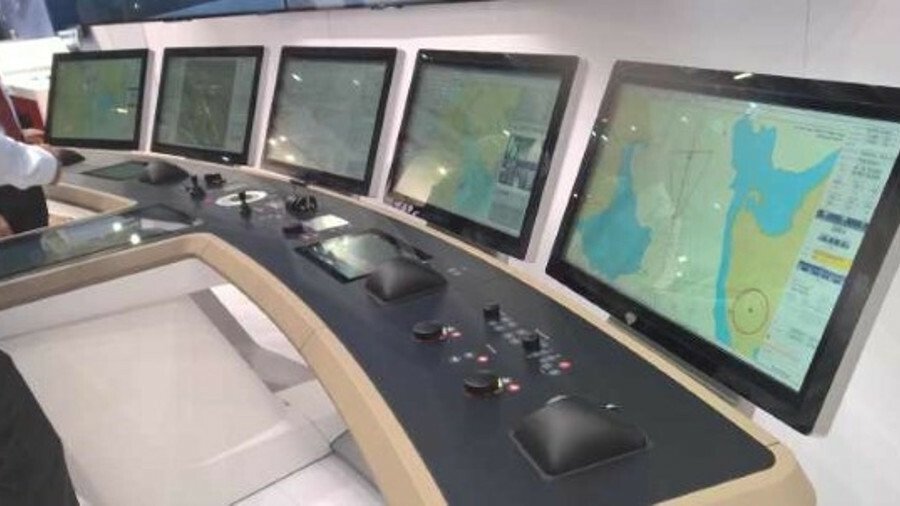
...Farsounder’s forward looking sonar can be included in integrated bridge systems. It enables navigators to see what is in front of them underwater in 3D and in real-time. Farsounder’s technology can reach up to 1,000 m in front of the ship and can detect icebergs, reefs, shipping containers, large whales and other navigation obstructions.
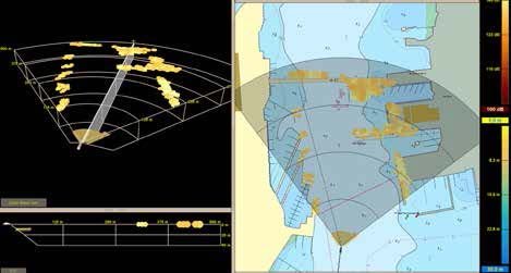
Echoes of the Future
In the last decade, 3D forward-scanning technology has emerged that could change yacht navigation.
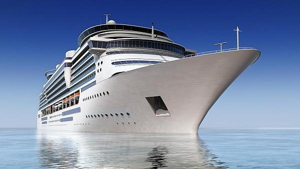
3D FLS & Navigating the “New Norm”
As more cruise vessels traverse the waters near the poles, we look at the tech designed to navigate safely.
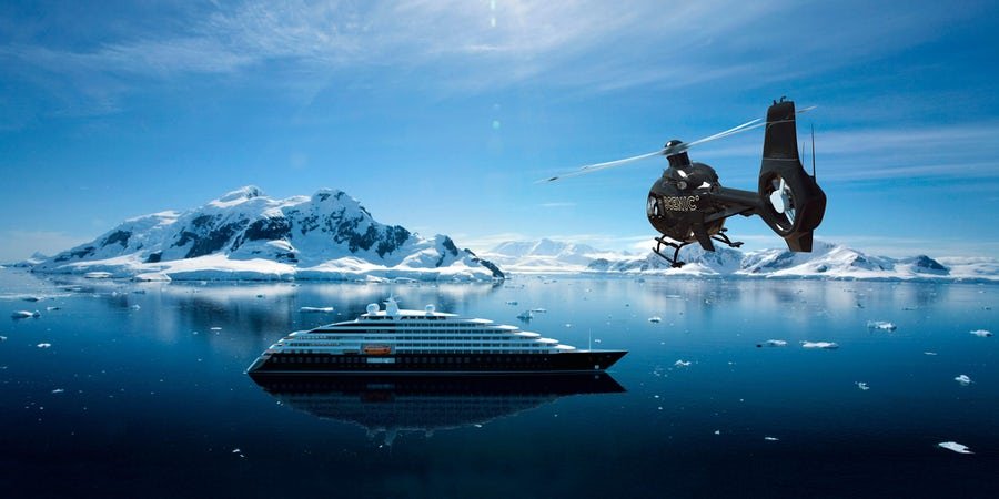
Trends in Luxury Expedition Cruising
Cutting-edge technology isn't just about toys. The luxury expedition ships of the next few years are safer and more ecologically friendly than ever before.
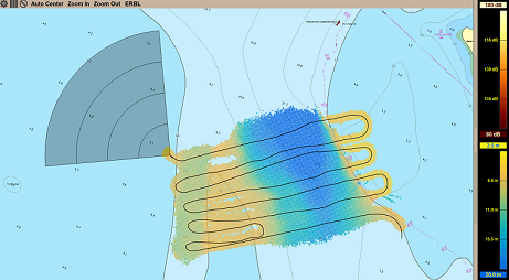
Changes to Data Sourcing in Modern Times
Seaports, waterways and climate are inextricably linked. Weather anomalies change bottom contours and destroy aids to navigation compromising safety. In the past decade, maritime applications, maturing marine technologies and crowdsourcing have given mariners access to near-real-time hydrographic data. The 3D Forward-looking Sonar is one example of the technology navigators are using today to create their own 3D local chart database. Thousands of vessel operators are now contributing to online navigation safety databases. This article provides examples of how traditional hydrographic data sourcing continues to change in the wake of apps, intra-vessel communication and 3D sonar hardware/software technology.
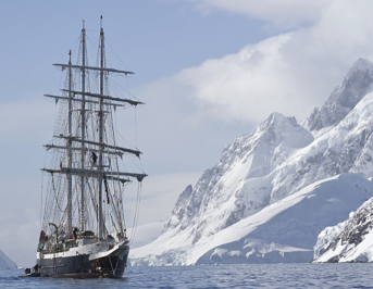
The Sea Less Travelled
With more superyachts cruising atypical waters, the dangers presented by insufficient chart data are increasing. Marianne Molchan, president of Molchan Marine Sciences, looks at the role of forward-looking sonar and how it could be a game changer for the adventurous owner-captain team.
